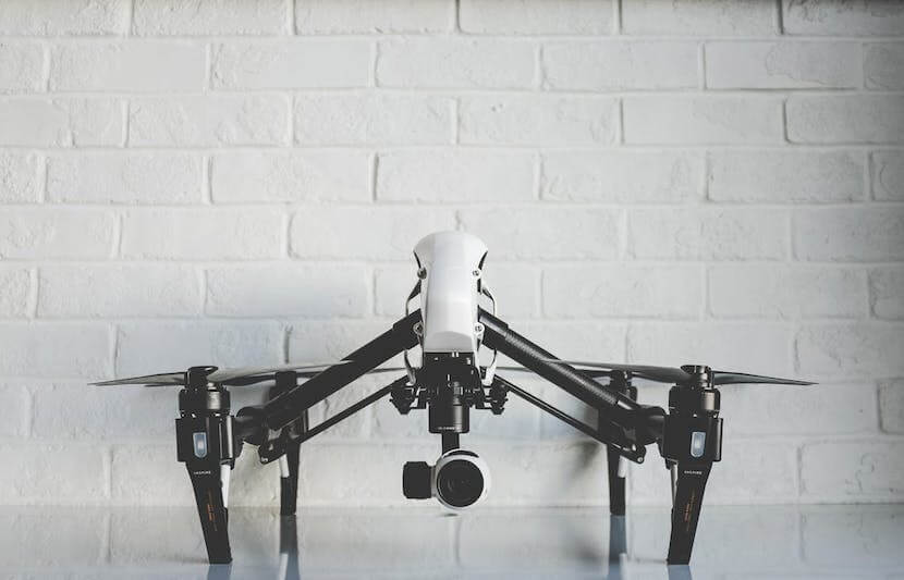
Development is underway at the University of Calgary in Canada to make autonomous flight in unmanned aerial vehicles (UAVs) a reality, without the use of GPS technology.
TUN spoke with Dr. Mozhdeh Shahbazi, a professor of geomatics engineering at University of Calgary’s Schulich School of Engineering, regarding her new drone technology.
Shahbazi has spent her academic and professional career advancing fine-scale 3D mapping and modeling technology. To Shahbazi, UAVs serve as a “platform to improve mapping and navigation purposes.”
Until now, UAVs have relied on GPS technology to guide them through the air.
The problem is, when the flying machines reach urban areas, skyscrapers and other urban infrastructures cut off the GPS signal. In rural areas, trees do the same.
Shahbazi recognizes the faults of past autonomous flight, but sees potential in the idea.
“Autonomous UAVs or other types of unmanned systems (robots) can be extensively applicable as geo-spatial tools if we teach them properly how to interact with the environment around them for safely navigating themselves and, also, for fulfilling the mapping missions that we give them,” said Shahbazi.
“The geomatics applications of these solutions, which I am interested in, include infrastructure inspection, on-demand emergency mapping, city modeling, wildlife management, and precision farming.”
Shahbazi has developed a short-term research plan to meet her long-term goals.
To reach her objectives, she plans on “implementing vision-based techniques of precise navigation”, creating a “task-based active view planning for autonomous image acquisition,” and developing “semantic stereo-vision computation for automated and accurate 3D mapping of infrastructure.”
This means, her new 3D technology should be able to “see” the urban infrastructures, such as buildings, telecommunication towers, powerlines, and roads, to gauge its location.
“Using multiple cameras, UAVs can view the surrounding environment in 360 degrees and perform real-time 3D reconstruction,” said Shahbazi.
“It uses this information to determine both its current position and its next move, which should be concerned with not only reaching the desired destination safely but also accomplishing the task it’s been given.”
For example, her technology could see an urban power line insulator and use that to get it from point A to point B.
Using 3D-mapping technology, a drone would use laser and infrared sensors to see the depth between two objects, like a human eye.
“It should realize that an insulator has cylindrical extension and needs to be viewed from different angles in order to be fully reconstructed,” said Shahbazi.
Shahbazi has not yet tested her technology in the field, but has been collaborating with Augmented Urban Space Modeling Lab at York University, under the supervision of Dr. Gunho Sohn, an associate professor of geomatics engineering at York University.
Initial tests will be conducted in indoor flight zones, where flying machines beyond the visual line of sight is permitted.
“When it is time for real-world tests, I am not sure how, or if Transport Canada will issue a certificate for flying such a system,” said Shahbazi.
“However, I hope that the knowledge about these types of systems would increase, and precise instructions would be put in place to verify, regulate and certify them.”
Shahbazi is optimistic when looking towards the future.
“We shouldn’t forget the advancements that are made on regulating self-driving cars,” she said.
“Similarly, fully autonomous vision-based UAVs will find their place sooner or later.”